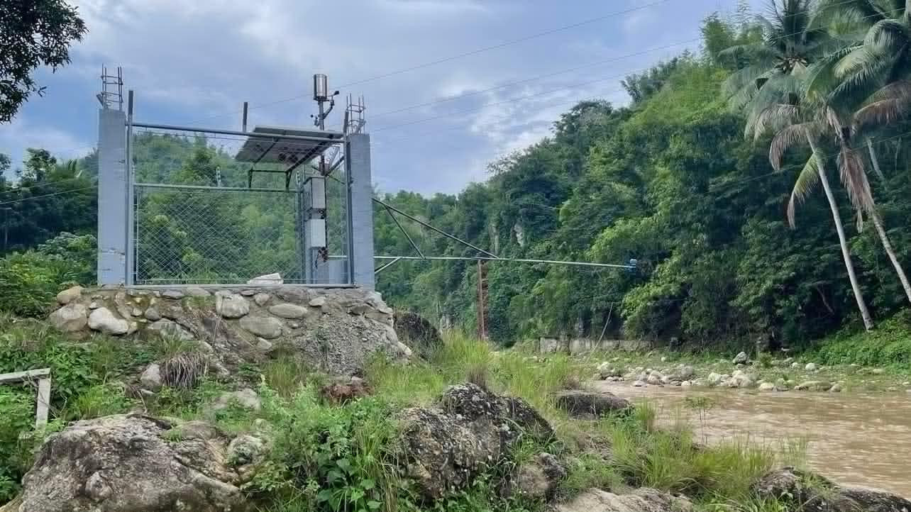
Flood Early Warning System
The Flood Early Warning System, acquired by the municipality for its residents, signifies a proactive strategy for disaster management. Using cutting-edge sensors, this system swiftly detects rising water levels in flood-prone areas, facilitating early alerts and evacuation measures. By prioritizing community safety and minimizing property damage, the system serves as a crucial investment in enhancing resilience and protecting residents from the impacts of flooding.
Saving Lives
Early warning systems provide crucial information and alerts about impending natural disasters such as typhoons, earthquakes, and tsunamis. By informing people in advance, these systems can enable timely evacuations and preventive measures, significantly reducing the risk of injuries and fatalities.
Mitigating Economic Losses
Natural disasters can cause extensive damage to infrastructure, homes, and businesses. Early warnings allow communities and authorities to prepare and protect critical assets, minimize disruptions, and reduce the overall economic impact of such events.
Enhancing Community Resilience
Early warning systems foster a culture of preparedness and resilience within communities. Regular updates and drills based on early warning information can help people to better understand and respond to emergencies.
Features
Flood Early Warning System (FEWS)
Comprehensive Tools for Optimal Flood Management Explore our suite of powerful features designed to keep you informed, prepared, and in control during flood events.
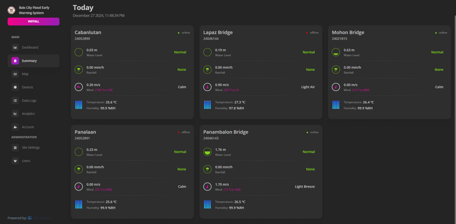
Live Update
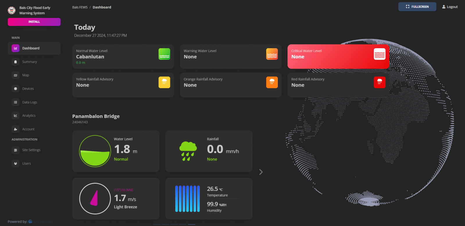
Monitor the flood situation in real-time with our Live Update Dashboard. Stay informed with instant data and insights, enabling you to act quickly and confidently.
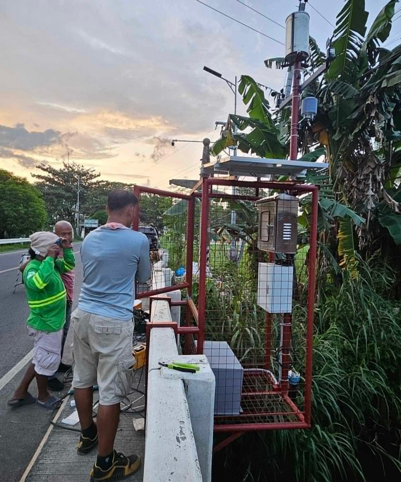
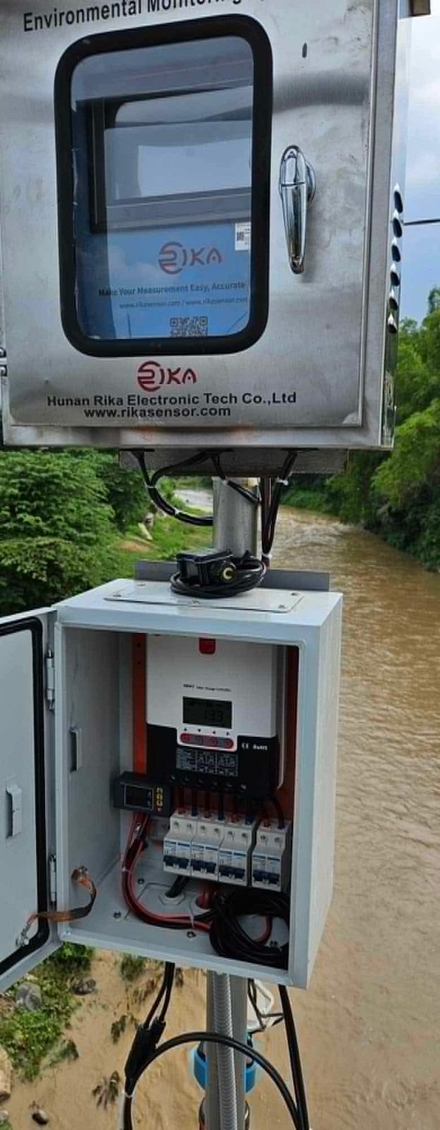
Data Sensors
Stay informed with real-time data from our State-of-the-Art Environmental Data Sensors. Monitor water levels, rainfall, temperature, and wind conditions to anticipate and respond to changing flood situations effectively
Progressive Web App (PWA)
Access the flood early warning system on any device with our Progressive Web App. Enjoy the seamless performance of a native app with the convenience and versatility of a web application.
Push Notifications
Receive immediate alerts about critical flood updates through Push Notifications. Stay connected and informed, ensuring that you can respond promptly to any situation.
Dark Theme Support
Optimize your viewing experience with Dark theme support. Switch between themes to suit your preference and reduce eye strain, whether you're working in low light or bright environments.
Customizable Reports
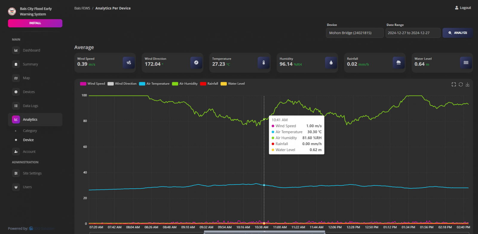
Generate detailed and tailored reports with our Customizable Reports feature. Select the specific data points and formats you need, providing you with the insights to make informed decisions.
1-year Data Retention
Keep your data secure and accessible with our 1 Year Data Retention policy. Access historical flood data anytime within a year, aiding in analysis and planning.
User Management
Manage your team effortlessly with our User Management feature. Add unlimited users, assign roles, and control access levels to ensure everyone has the right tools at their disposal.
System Workflow
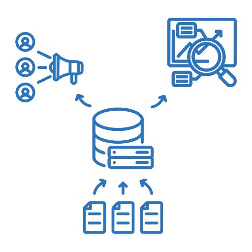
Data Collection: Gathering real-time data from sources like weather stations, river gauges, satellite imagery, and rainfall sensors to monitor conditions that could lead to flooding.
Data Dissemination: Distributing flood alerts, warnings, and forecasts to authorities, communities, and other stakeholders through communication channels such as application's dahsboard, sirens, or public announcements.
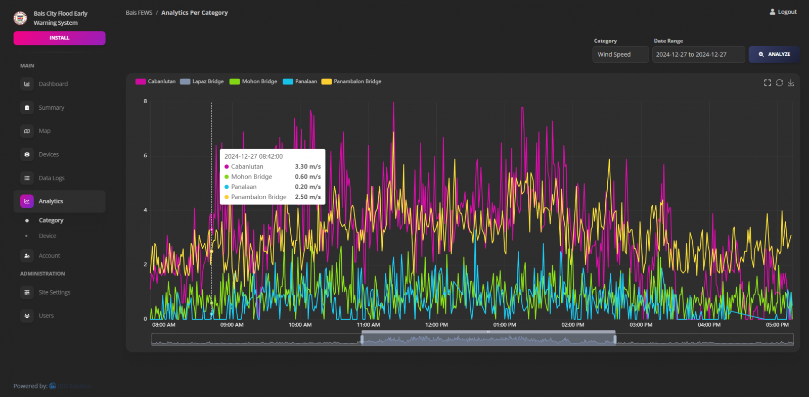
Data Analysis: Processing and interpreting collected data using hydrological models, statistical methods, and visual tools to predict flood risks, identify vulnerable areas, and support timely decision-making.
Environmental Monitoring Data
What environmental data FEWS monitor?
FEWS monitors several real-time environmental data to provide you with up-to-date information and critical insights
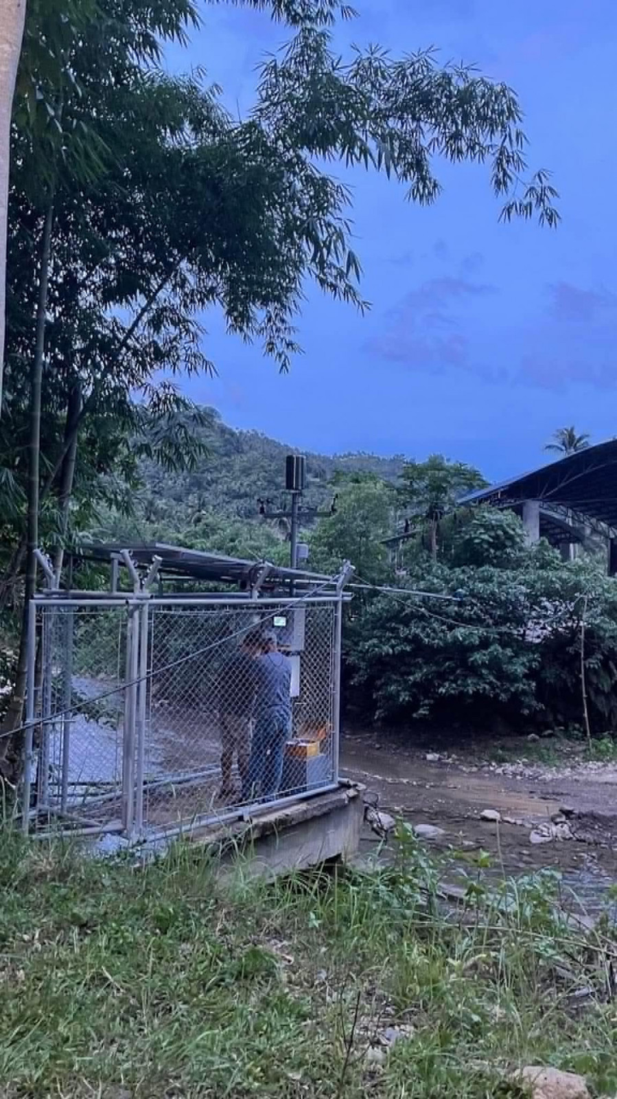
Full Implementation of FEWS: Empowering Real-Time Flood Monitoring and Early Warning for Safer Communities.
Real World Implementation
✓ Cabanlutan - Bais City, Negros Oriental
✓ Mohon Bridge - Bais City, Negros Oriental
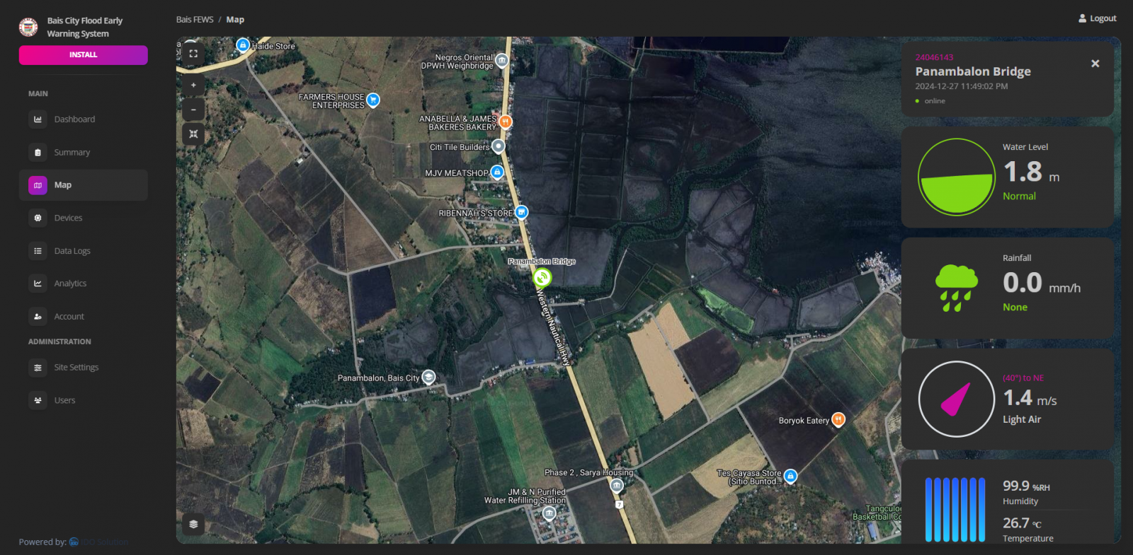
✓ Panambalon Bridge - Bais City, Negros Oriental
✓ Lapaz Bridge - Bais City, Negros Oriental
✓ Panalaan - Bais City, Negros Oriental

